Services / 0 to 80 m below seabed
Ground investigation, from sonar to soil test
Survey, sampling, testing and interpretation for wind farms, ports, cables and coastal works. Book one service or the whole investigation.
Five services, read from the top of the core down
Book one service or the whole investigation. Each layer of work feeds the next, so a single team keeps the data consistent from the first sonar line to the final report.
Seabed surface
Seabed mapping
Multibeam bathymetry, side-scan sonar and seabed imagery show the shape of the seabed, boulders, wrecks and debris along your site or route.

Down to 80 m below seabed
Geophysical survey
Sub-bottom profiling, seismic and magnetometer surveys trace the layers under the seabed and find buried hazards before anyone drills or digs.

Samples to 60 m
Geotechnical sampling
Cone penetration tests, vibrocores and boreholes from vessels, jack-ups or the shore, logged and sealed on deck so the sample stays true to the ground.

In the laboratory
Laboratory testing
Classification, strength, stiffness and chemistry tests on soil and rock, run to the schedule and methods named in your project specification.

The whole column
Ground models and reports
We bring the survey lines, test results and samples together into one ground model, with the design parameters and the uncertainties written down plainly.

How a survey runs, from first call to final report
Every investigation follows the same five steps. The time each one takes depends on your site, the season and the weather.
01
Scope
We read what you plan to build, review existing data and agree the questions the investigation has to answer. You get a written scope and price.
02
Mobilise
Vessel, equipment, crew, permits and a weather plan are booked and checked. Survey lines and test locations are set out before anyone sails.
03
Survey
Geophysics first, then targeted sampling where the data says it matters. Daily reports keep you up to date while the team is in the field.
04
Lab
Samples are logged, photographed and tested to the agreed schedule. Results are checked against the field data before they leave the lab.
05
Report
A factual report, then an interpreted ground model with design parameters. We walk your engineers through it and answer their questions.
Typical engagements
Desk study and survey plan
from $8,500
Nearshore geophysical survey
from $24,000
Nearshore geotechnical campaign
from $65,000
Survey vessel with crew
from $14,500 a day
Laboratory testing only
per test schedule
Ground model and interpretive report
from $18,000
Example prices. Every site is different: your proposal gives a fixed price for the agreed scope.
Every proposal includes
- A written scope with the questions the work will answer
- The vessel, equipment and team we plan to use
- How weather downtime is handled and charged
- The test schedule and the standards named in your specification
- Dates for the factual and interpretive reports
Our own vessel and equipment
Owning the main tools means we can plan around your programme, not around a hire calendar. For deep water we work with chartered vessels and name them in the proposal.
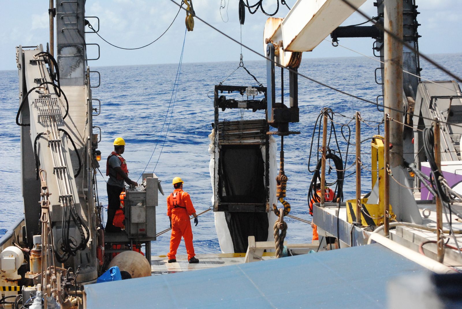

Survey vessel
Coastal and nearshore work with a crew of eight and a small deck lab.
26 m, 21 days

Multibeam and side-scan sonar
Seabed shape and objects, mapped in one pass.
to 400 m depth

Sub-bottom profilers
Layers below the seabed, from shallow sediments to rockhead.
to 80 m below seabed

Seabed CPT frame
Cone penetration tests straight from the seabed.
200 kN thrust

Vibrocorer
Continuous sediment cores for logging and testing.
6 m barrel

Soils laboratory
Classification, strength and chemistry testing on site or ashore.
onshore and on deck
Sample equipment list.
Questions before the first survey
Not answered here? Call (555) 017-0125 and ask for a project engineer.
How early should we bring you in?
As early as you can. A desk study before the site layout is fixed costs little and often changes where the expensive field work should go.
What do you need from us for a proposal?
The site boundary or route, what you plan to build, any existing survey data and your programme. A short call is usually enough to start.
Do you work in shallow water and intertidal zones?
Yes. We use small survey boats, jack-up platforms and land rigs where a large vessel cannot go, and plan the work around the tides.
Can we book laboratory testing only?
Yes. Send us the samples with their logs and the test schedule. We confirm what we can run and when you will have the results.
Which standards do you test and report to?
The ones named in your project specification. We list them in the proposal, so you can check them before the work starts.
What happens when the weather stops work?
The proposal explains how weather downtime is handled and charged. You get a daily report either way, and we agree any change to the plan with you.
Reply within two working days
Know the ground before you build on it
Send us your site or route and what you plan to build. A project engineer replies with questions, a scope and a fixed price.